No products
Product successfully added to your shopping cart
There are 0 items in your cart. There is 1 item in your cart.

Online only
BIG-Maps America
96000079
New
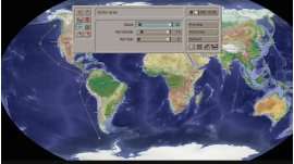
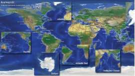
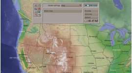
This collection contains 40 maps of the American continent.
Software license via e-mail
More info
This collection contains 40 maps of the American continent. Each in three variants for use with the Columbus software. The maps are about 2600 x 2100 pixels, which enables Columbus to also make slight movements instead of static maps.
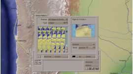
Each map is available as a relief version, a map with additional county borders and country borders + important cities (about 100).
The following maps are in the America collection (from north to south):
- Alaska
- Canada
- Canada Hudson-Bay
- Canada Labrador Sea
- Canada Middle-South
- Canada North-West
- Canada East
- Canada South-East
- Canada South-West
- Greenland Davis Street
- Caribbean North
- Mexico North
- USA
- USA Middle-North
- USA North-East
- USA North-West
- USA South
- USA South-East
- USA South-West
- Columbia / Venezuela
- Gulf of Mexico
- Guantemala / Panama
- Caribbean Isle
- Caribbean Middle
- Mexico
- America Middle
- Upper Amazon
- Brazil Amazon
- Argentina / Chile South
- Argentina / Uruguay
- Bolivia / Peru South
- Brasil East
- Brasil South
- Argentina / Chile North
- Ecuador / Peru North
- Guyana / Suriname
- Paraguay / Mato-Grosso
- South America
- South America North
- South America South
There are also BIG-Maps available for:
- Australia+Africa
- Asia
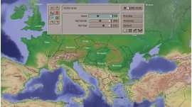
- Europe
For usage within HD project, the BIG-Maps XXL or RealMaps offer additional resolution.
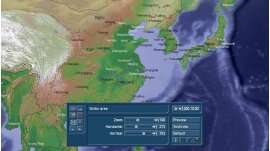
System requirement: Casablanca, DVC, Enterprise MAX, Streamcorder with BogartSE and Columbus.
Reviews
No customer comments for the moment.